Digital Object 2119
Description:
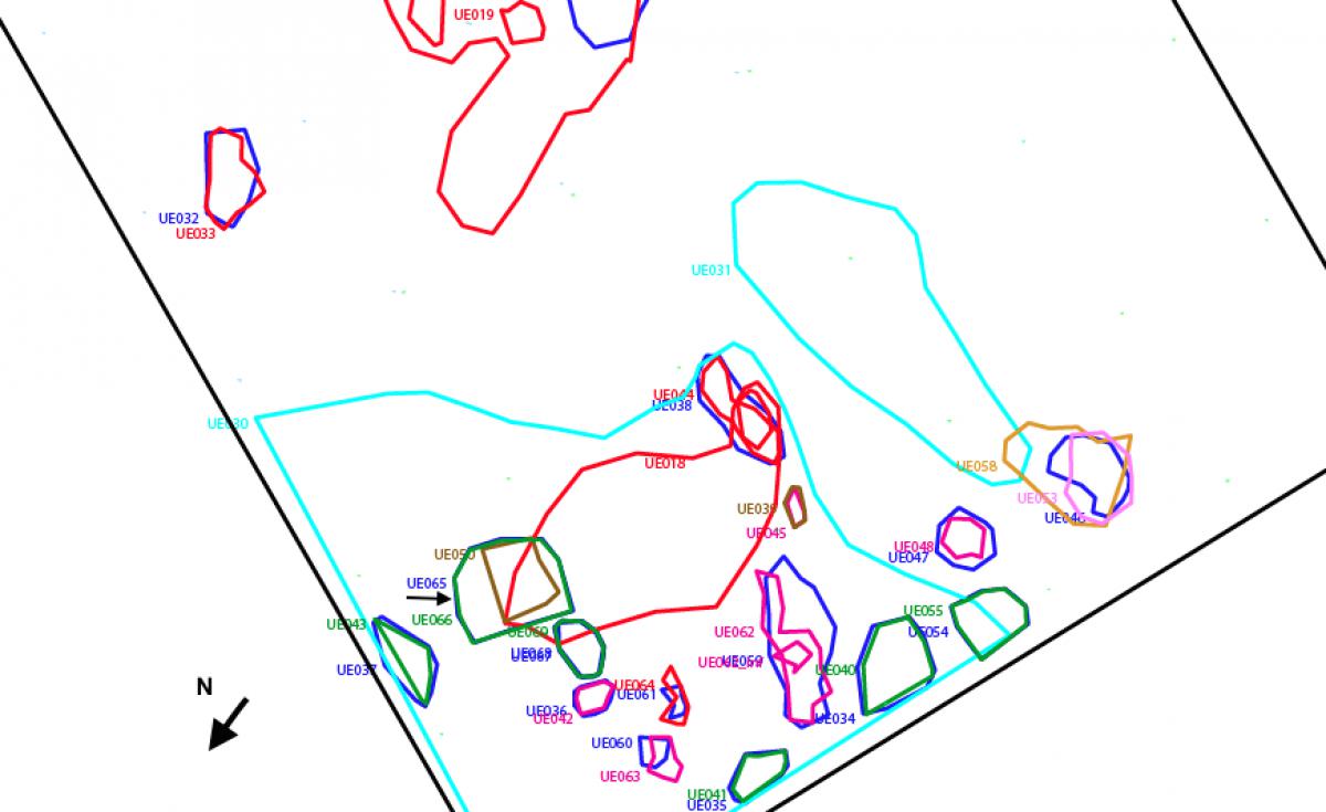
UE065. Fill of brown soil, of medium-low compaction and sandy granulometry with abundant remains of organic matter (small roots and coals). Its shape in plan is oval, although irregular, of 60 x 35 cm (NW-SE; SW-NE) and with a maximum thickness of 15-20 cm, although this deposit and the cut stratigraphic unit 066 were sacrificed to better extract the burnt wood from stratigraphic unit UE050. Ceramic material, stones and charcoal were recovered. Fill of stratigraphic unit UE066. Maximum upper level is 1.51 m. and minimum is 1.53 m. Maximum lower level 1.60 m. and minimum level 1.54 m. Pit fill.
Excavation campaign:
2008
Record type:
Stratigraphic unit register
Context-based browsing of El Caño repository
Archaeological site:
El Caño
Operation:
Operation 1
Stratigraphic unit type:
Fill, fossa
Stratigraphic unit (characteristics):
065
Digital Object 2119